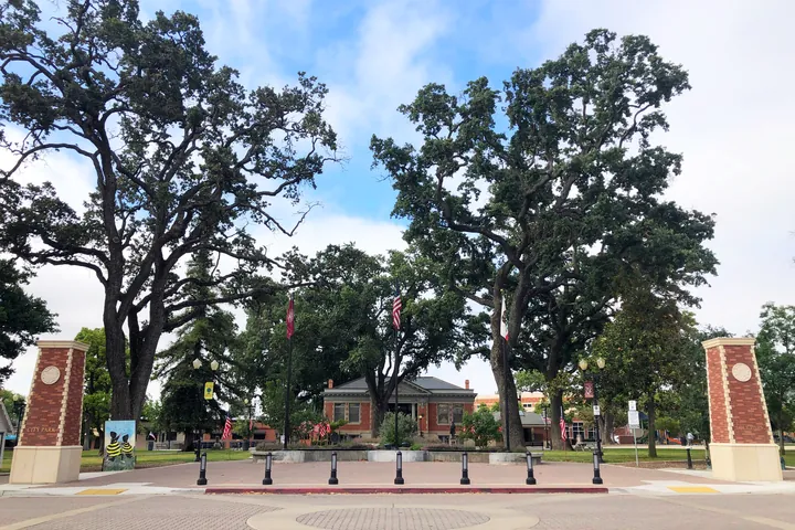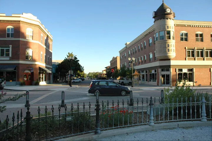
The first question is not a subdivision name. It is whether the property is in the city, and which side of Highway 101 it sits on. After that, downtown, Sherwood, Golden Hill, the airport area and the west-side wine country each have a different daily feel.
Downtown and west of Highway 101
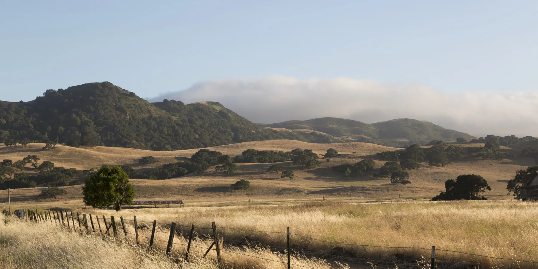
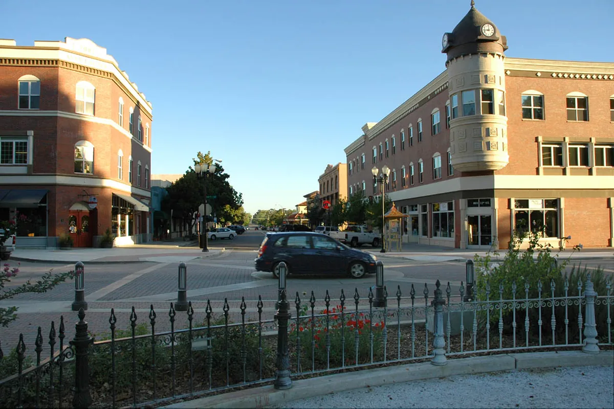
The historic grid around City Park is the part of town where people still talk about walking to dinner or the Saturday market. Streets are older, lots are often smaller, and event nights downtown are part of the atmosphere. Farther west, toward the oak hills, lots generally get larger and the feel more residential, still with a relatively short drive to the park and to Highway 101.
East of 101: Sherwood, Golden Hill and the airport side
East of the freeway the town opens up. Buyers often hear names such as Sherwood and Golden Hill for the residential areas that grew on that side, along with housing closer to Paso Robles Municipal Airport and the Event Center. Streets and lots tend to be more suburban in pattern than the downtown grid. Noise from the airport or from the Mid-State Fair in July is worth asking about if you are looking close to those sites; for most east-side streets it is a distant issue, but it is not theoretical next to the runway or the fairgrounds.
Wine country west: Adelaida, Willow Creek and the rural ring
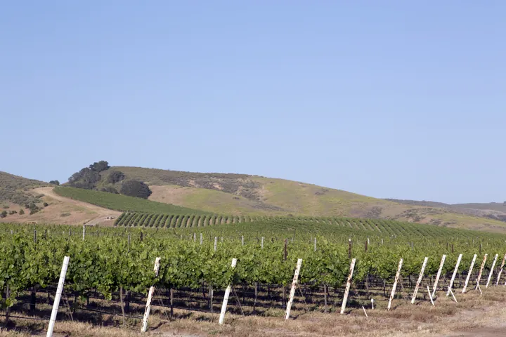
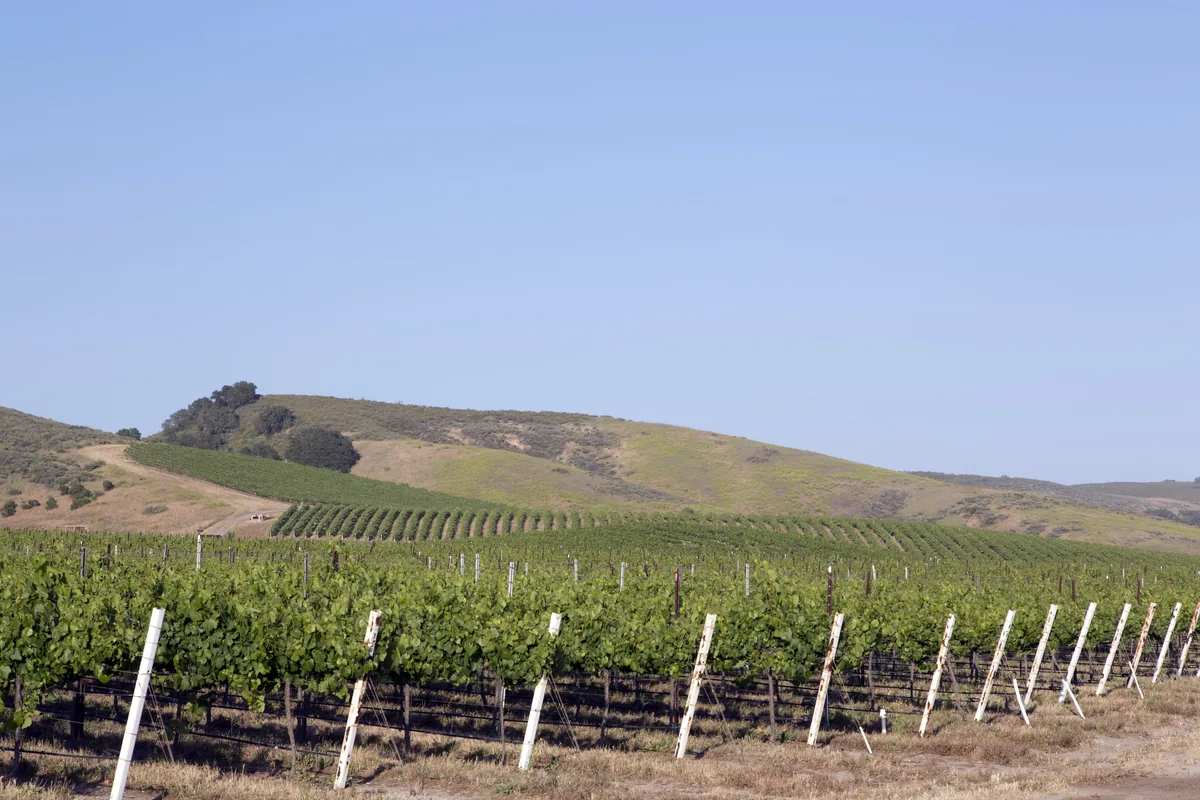
West and northwest of town, in districts the wine alliance maps as Adelaida and Willow Creek, you are usually looking at acreage, vineyards, long driveways and county jurisdiction. The same is true of much of the land toward Creston, San Miguel, Shandon and the Estrella and Geneseo areas east of town. These are some of the properties people mean when they say they want “a place in Paso wine country.” They can be beautiful, and they come with well, septic, access and land-use questions that a city lot does not. See Wine Country & AVAs and Rural Land & Ag.
How to compare two listings
Ask, for each property: city or county? City water or a well? Sewer or septic? How long is the drive to downtown, to the junior high or high school, and to Highway 101? Is there a homeowners association? For east-side homes, is the airport or Event Center close enough to matter? For west-side and rural homes, who maintains the road, and what does a recent well test show? Mark can walk you through those questions on a specific street. See also Schools and Water & Wells.
Please verify. Neighborhood names are used informally and do not always match city planning areas. Confirm jurisdiction, utilities and school assignments on the specific property.