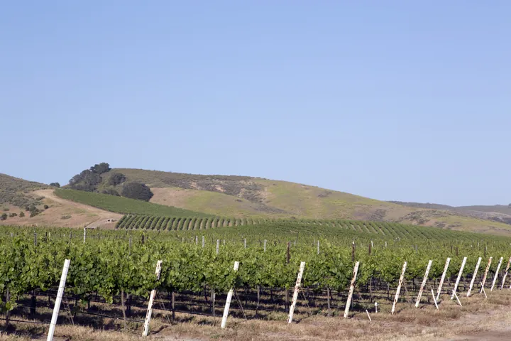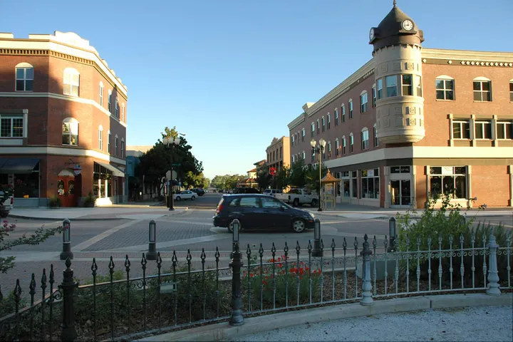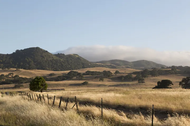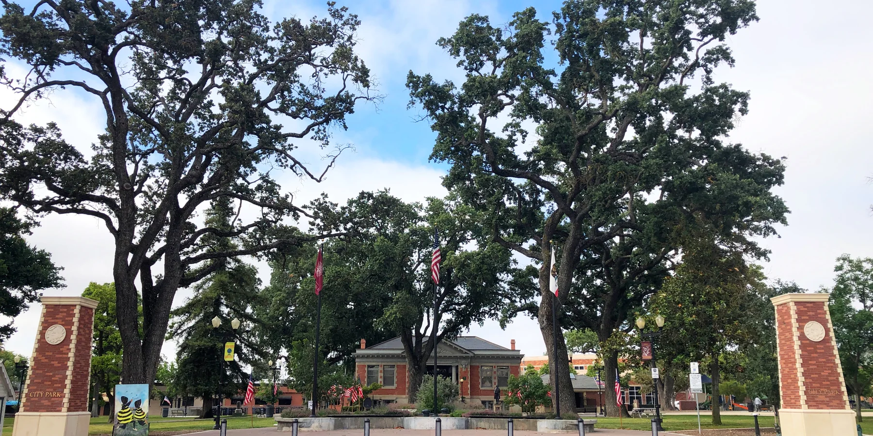
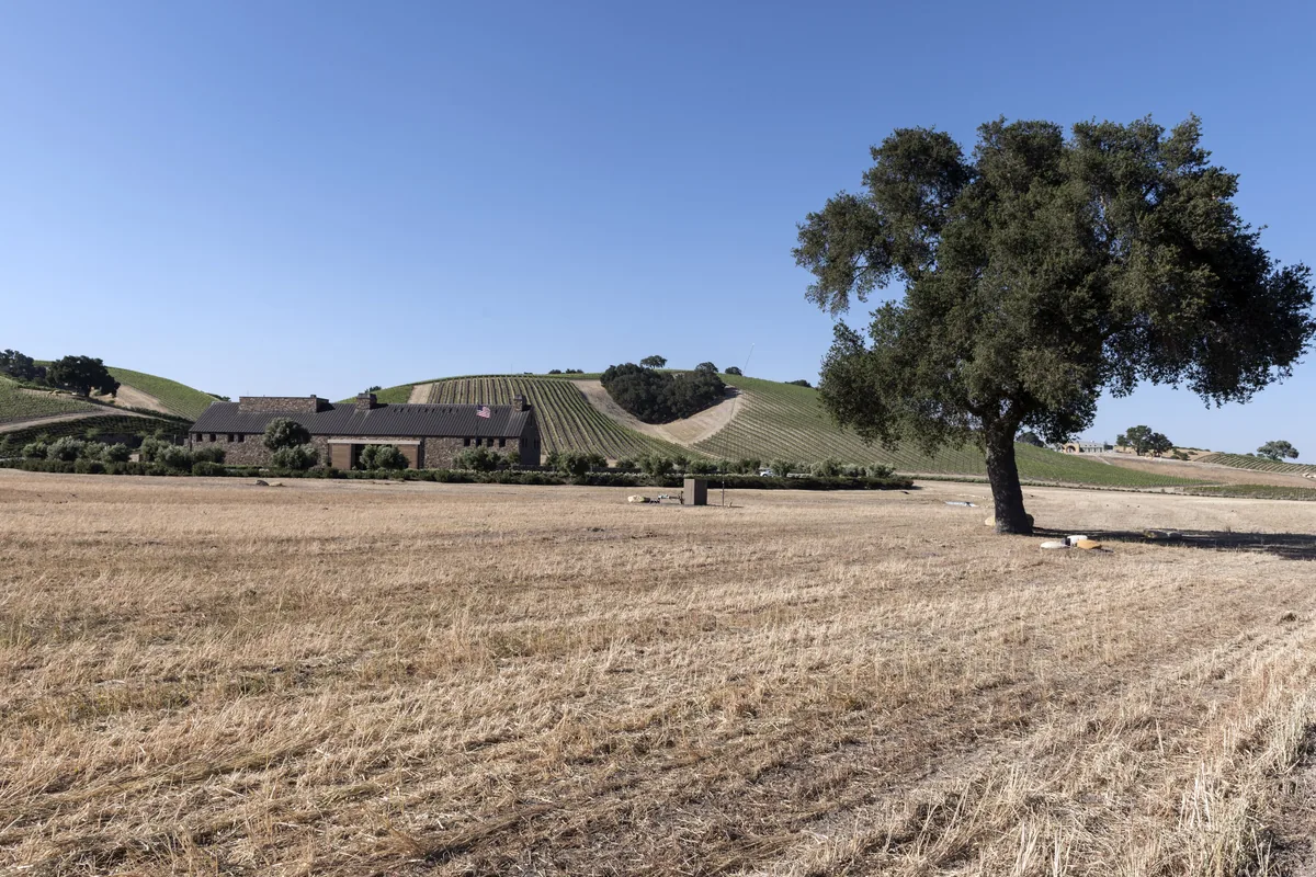
El Paso de Robles, “the pass of the oaks,” grew up around hot springs and a railroad stop, then around wine and agriculture. The city still sits between a compact downtown and a wide ring of vines, cattle and oak hills.
A pass of oaks, a downtown park, and wine country
People have used this gap in the Salinas River oaks for a long time. The modern town grew as El Paso de Robles, first around mineral springs and the Southern Pacific railroad, then as a farming and ranching center, and more recently as one of California's best-known wine regions. Downtown still organizes itself around City Park and the 1908 Carnegie Library, with Spring Street, the weekly farmers markets and the Christmas Light Parade close at hand.
A few minutes from the park you are in a different landscape: vineyard hills west of town, newer neighborhoods east of Highway 101, and working ranches toward Creston, San Miguel and Shandon. See Neighborhoods and Rural Land & Ag.
People, homes and incomes
The Census Bureau counted 31,490 residents in the 2020 Census and estimates 31,626 as of July 1, 2025. The 2020–2024 American Community Survey, as reported in QuickFacts, puts the median value of owner-occupied homes at $687,200. Those are survey medians, not today's sale prices. For what a specific home is worth now, ask Mark for a comparative market analysis or use the home value form.
Getting around
Highways 101 and 46 cross at the south end of town. By road, Templeton is about 6 miles south, Atascadero about 11 miles, and San Luis Obispo about 29 miles (typically 30 to 40 minutes, longer when the Cuesta Grade is slow). Cambria and the coast are reached via Highway 46 West, roughly 25 to 30 miles depending on the route. San Luis Obispo Regional Transit Authority Route 9 runs between Paso Robles and San Luis Obispo with stops in Templeton and Atascadero.
Paso Robles Municipal Airport is on the northeast side of town. San Luis Obispo County Regional Airport is the closest commercial airport, about 35 minutes south in most traffic.
Schools
Public schools in town are run by Paso Robles Joint Unified School District: six elementary schools, Lewis Flamson Junior High, Paso Robles High School, and alternative programs including Liberty Continuation High and Independence High. Cuesta College's North County Campus is on the north side of town. See Paso Robles Schools.
What to check before you buy
City or county. A Paso Robles mailing address is not the same as being inside the city. Many vineyard and ranch properties are in unincorporated San Luis Obispo County, with different permits, taxes and services. Confirm jurisdiction on the listing and with the county or city.
Water and sewer. Is the home on City water or a private well, and on City sewer or septic? Rural wells sit in the Paso Robles Groundwater Basin, which is managed under state groundwater law. See Water & Wells.
Wine country and land use. If you want a vineyard, a barn or a second unit, ask about zoning, well capacity and any agricultural contracts such as a Williamson Act agreement. See Rural Land & Ag and Wine Country & AVAs.
Fire and insurance. Oak woodland and grassland around town can be mapped for fire hazard. Ask for the current fire-hazard rating and how insurance has been going for similar homes.
Please verify. Census figures are survey estimates and change each year. Distances and drive times are approximate. Water, well, zoning and school rules can change; confirm anything important with the agency named.
Get Paso Robles listing alertsWhat's my Paso Robles home worth?